Dominik Kremer, member of the Geogames team is going to participate in this year’s Education GIS Conference held July 8th to 12th in San Diego, CA. Besides a presentation with the title “Learning to Understand Geodesigns by Playing Geogames” there will be a demonstration of the Geogame CityPoker developed at the University of Bamberg several years ago.
Christoph Schlieder: Learning to Understand Geodesigns by Playing Geogames
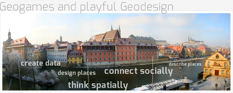
Abstract. The Playful Approaches to Geodesign Project (PlayGeo) at the University of Bamberg, Germany, applies concepts and technologies from location-based games to education in a general curriculum on spatial thinking. A collection of Geogames is created in which the players explore outdoor environments using GPS smartphones to access information, to complete documentation tasks, and to analyze spatial problems. The project uses ArcGIS for Android technology to build a game platform which assists educators to stage a Geogame in their local geographic environment. We present first lessons learned from the project and describe two scenarios for playful approaches to the early stages of the design process, that is, to understand an existing urban design (design reading games) as well as to discuss and evaluate a design (urban usability games). Based on an empirical study of a design reading game, we identify success factors for the playful approach to Geodesign.
One or more playing events will also be organized for interested people. This time the CityPoker game was chosen for demonstration. In CityPoker two players or teams start with a given poker hand and try to improve it by moving around in an outdoor environment to find cards hidden in caches.
If you need more information or are interested in participating in the Geogames event or just want to chat about gamification and GIS, please write an email to and we will get back to you as soon as possible.